Parisian Alexandre Vuillemin was born in 1812, the year Napoleon invaded Russia. During his life (Alexandre died in 1880) France would be invaded, gain and lose territories and embrace the industrial revolution.
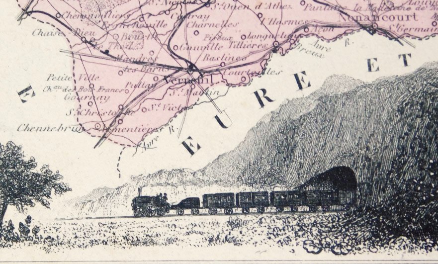
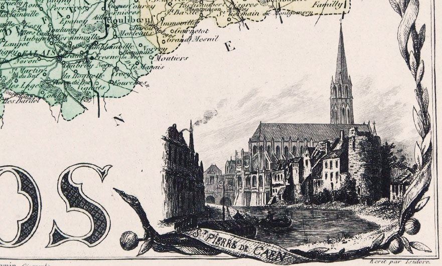
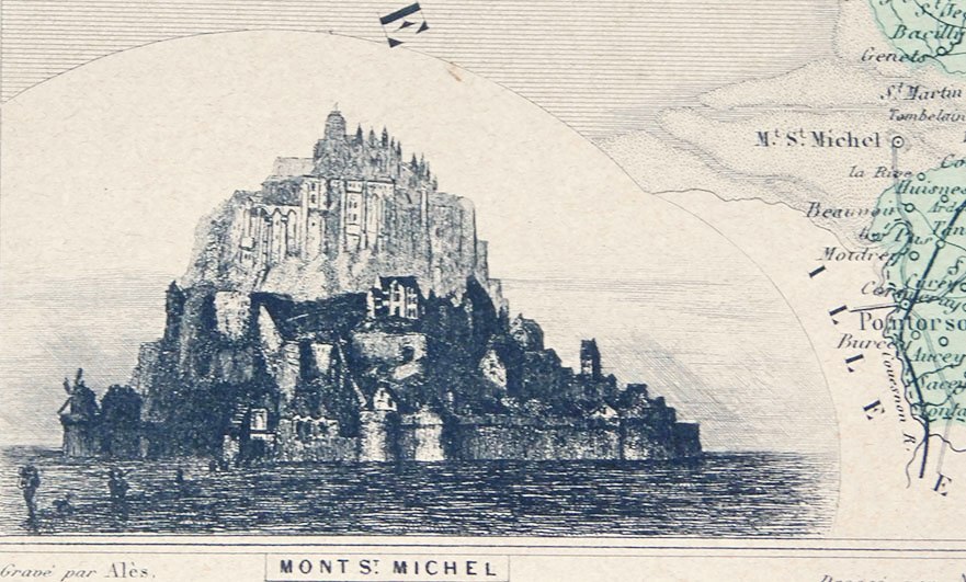
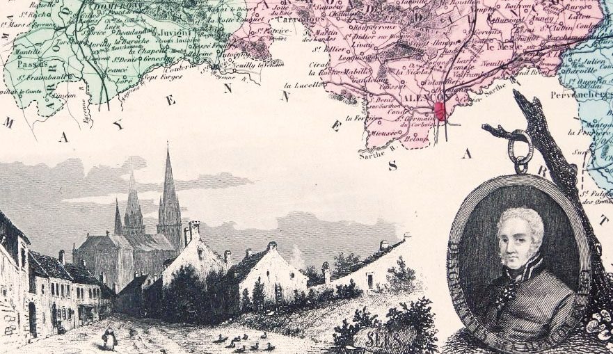
As France evolved, it’s borders and in turn it’s cartographers became increasingly important. Alexandre studied his art under the esteemed Auguste Dufour and his maps were extremely popular. This was due in no small part to his embellishments, the charming, informative margin illustrations. These vignettes of famous people and views of cities are an engaging window into 19th century Normandy.
Alexandre’s atlases and maps can be found in libraries and collections across the world including the British Museum and the University of Alabama Historical Maps of Europe Archive.
We have five of Alexandre’s maps from ‘La France et ses Colonies’ first published in 1870. These etchings cover each part of Normandy; Manche, Eure, Calvados, Seine Inferieure (now Maritime) and the Orne.